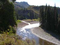
 As we left our campsite that morning we immediately began to ascend. This picture is looking down at a bend in the river where Red Creek flows into the Snake River.
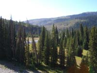 The far side of this picture is the burned out area that we went through yesterday.
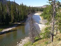 This is looking down the river where our campsite was located.
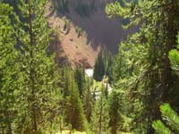 As we continued to climb we could see the Red Creek far below. You can also see from this picture where it got the Red Creek name.
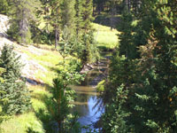 This is a very peaceful picture looking down a little valley with the creek running through it and a meadow further down.
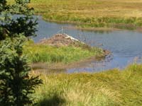 Here is a beaver lodge and it was located right at the base of the meadow where there were trees. The beavers could not dam up the creek with trees, so they built this lodge.
 This was a huge meadow and it seemed like we walked forever to get through it, but it was also very scenic.
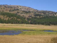 If you look at the larger picture, you can see how it really resembled salt marshes. Also, notice the contour of the hill on the far side.
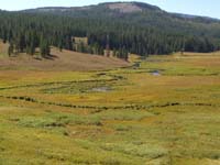 At the far end of the meadow it began to rise and we were able to look back at the path the creek took.
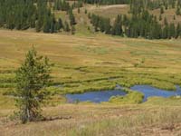 These look like pools that the beavers created when they created their dams. Not really sure how they built the dams here, but we guess they used mud and reeds.
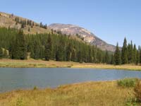 Basin Creek Lake and our lunch spot for the day. That is Mt. Sheridan in the background.
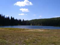 While we were laying in the grass, I took this picture looking down the lake.
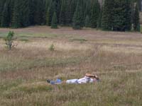 Obviously, Tom is enjoying the afternoon sun and breeze, relaxing in the grass.
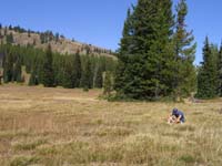 Bob is preparing himself to carry that pack a few more miles after relaxing in the grass.
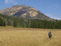 Tom heading down the meadow towards todays destination, Mt. Sheridan.
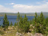 We made it to the southern end of Heart Lake. What a view of the beautiful blue water of this lake.
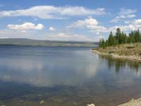 We stopped at the very end of the lake to filter water before we head up the foot of Mt. Sheridan.
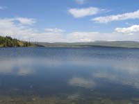 This section of the lake is sheltered from the wind that comes over Mt. Sheridan allowing us to get a reflection of the clouds off the lake.
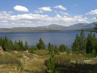 As we ascended the foot of the mountain, the wind really began to pick up and the striking beauty of the lake kept my camera busy.
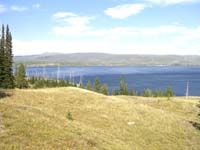 Couldn't resist andother look at the lake from a higher vantage point.
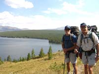 We stopped to take in the scenery, so I took a picture with Tom and Bob hanging out.
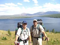 Look Tom is smiling. That could be because he has not figured out that he left his water filter a mile back on the lake shore.
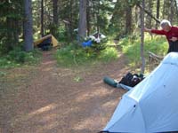 Our last campsite, nestled in the trees. It was extremely windy here and we were a little concerned about some of the creaking we were hearing from the trees around us.
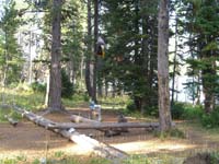 Our "Kitchen" just above the shoreline. This was a fantastic campsite right on the lake.
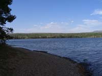 Since my camera does not take panoramic, I decided to try putting it together with these three images.
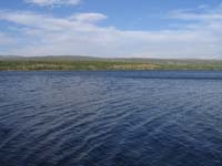 This is about 20 feet from our "kitchen" on the shoreline.
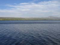 The last of the three images for a semi panoramic picture.
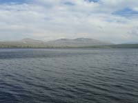 As the evening progressed and the sky darkened, the lake took on a different look.
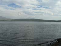 These three pictures are another attempt at a panoramic picture.
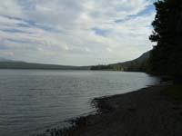 The last of the three pictures creating the panoramic view.
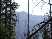 Through the trees at our campsite, we could see our goal for the next morning. The top of Mt. Sheridan, 3000 ft up.
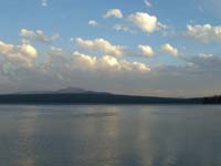 I really like sunsets, so here go all the sunset pictures.
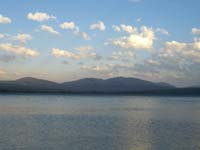 As the sun goes down the clouds begin to reflect different types of lighting on the lake.
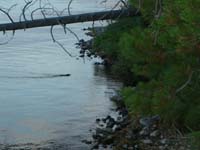 A family of otters has a little den built right into the shoreline of the lake. We got to watch them play, fish and swim around the lake at dusk. This one sees us and takes off for home.
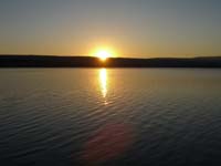 Sunset over Heart Lake.
 Look at the larger picture and you will see two geese flying low over the water. I wanted to catch them in the reflection, but was a little too early.