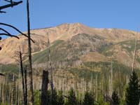
 As we begin our ascent at 8am, the mountain looks beautiful in the morning sun.
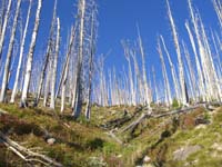 As we are climbing, we came across this gulley where the snow melt runs down the mountain and I thought the perspective of the image was really cool.
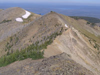 Ok, so I did not take a lot of pictures going up, would you? This is looking down over the knife edge ridge that we traversed to reach the top.
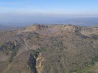 From the top, this is looking out over the other side of the park where we had not traveled. Look closely, within that crater is an alpine lake.
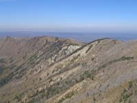 This is a picture looking over the ridgeline and slope that we had not traversed.
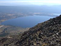 Looking down at the lake that we have been hiking around all week. I really love the scenery from this altitude.
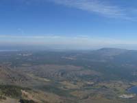 This is looking down at the valley that we came through on the first day and where we will be going on the way out this afternoon.
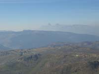 In the distance you can see the mountain tops of my favorite park, The Grand Tetons. Notice the smoke in the horizon from a fire that is burning between us and the Tetons.
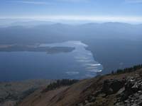 From this picture you can see why they call it Heart Lake.
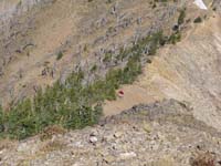 Notice the red spot on the knife edge ridge. That is Bob, he stopped further back to change into warmer clothes. The wind was blowing pretty good on the ridge, and combined with the sweat from climbing, made it a bit chilly.
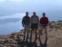 Proof that we all made it on top. The ranger was quite surprised when we asked him to take our picture, not!
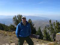 As you can see, the longer we stayed up there the colder it got, so I have pulled out the jacket and legs. Notice the Tetons in the background.
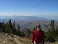 Proof for Bob that he did make it as well. Notice Tom scrambling to get out of the picture. Not fast enough!
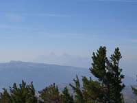 There are a lot more pictures of the Tetons, but I decided to spare everyone, so this is the last one. Aren't they majestic!
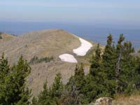 We passed four snow packs on our way up. They are on the north face of the mountain, so they do not get as much sun as the rest of the mountain, therefore, they will probably make it through the summer intact.
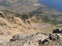 This is looking down one of the gulleys where the snow melt flows and probably some avalanches occur when there is a heavy snowpack.
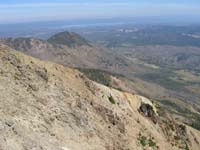 This is a look at Factory Hill. 9600ft+, some hill! Glad the trail didn't go over it just for kicks.
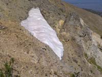 This snowpack was right in a gulley. It looks like it could slide any minute, so we decided not to walk out on it. It was probably 3ft deep.
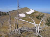 I thought this was a neat picture with the scorched trees in front of three of the snowpacks.
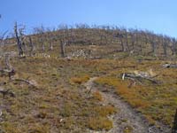 This is looking up the trail towards the top. Notice the trees destroyed in the fire and since it is such a harsh environment at this altitude, it doesn't look like any new trees will replace them.
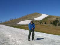 Of course, I had to get a picture of me in the snow in August!
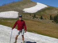 Snow Ball Fight!!
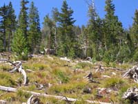 On our way down, we came across two six point bucks. It was cool to see some wildlife fairly high up on the mountain.
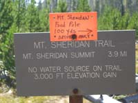 The map said 3.1 miles!
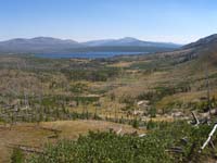 The last picture of Heart Lake and the backcountry. We had just finished ascending 300ft, that seemed to never end. I still don't remember walking down it.
 Our first stop when we got out of the woods was Old Faithful, of course.
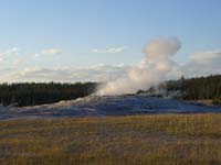 There were plenty of false starts, but you can see the sun was going down quickly, so it better hurry up and blow.
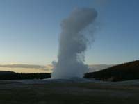 Finally, the next three pictures give you an idea of how much pressure gets released.
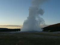 The boiling hot water released can reach between 106ft and 184ft.or better.
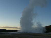 On day seven, I have pictures of Old Faithful going off from the other side. The look of the geyser all depend upon which way the wind is blowing the steam.
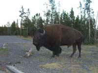 Finally, wildlife! Well, I guess finding them in the parking lot is better then not seeing them at all.